Aerial Imagery

Hummingbird and RKRS - Advanced crop analytics

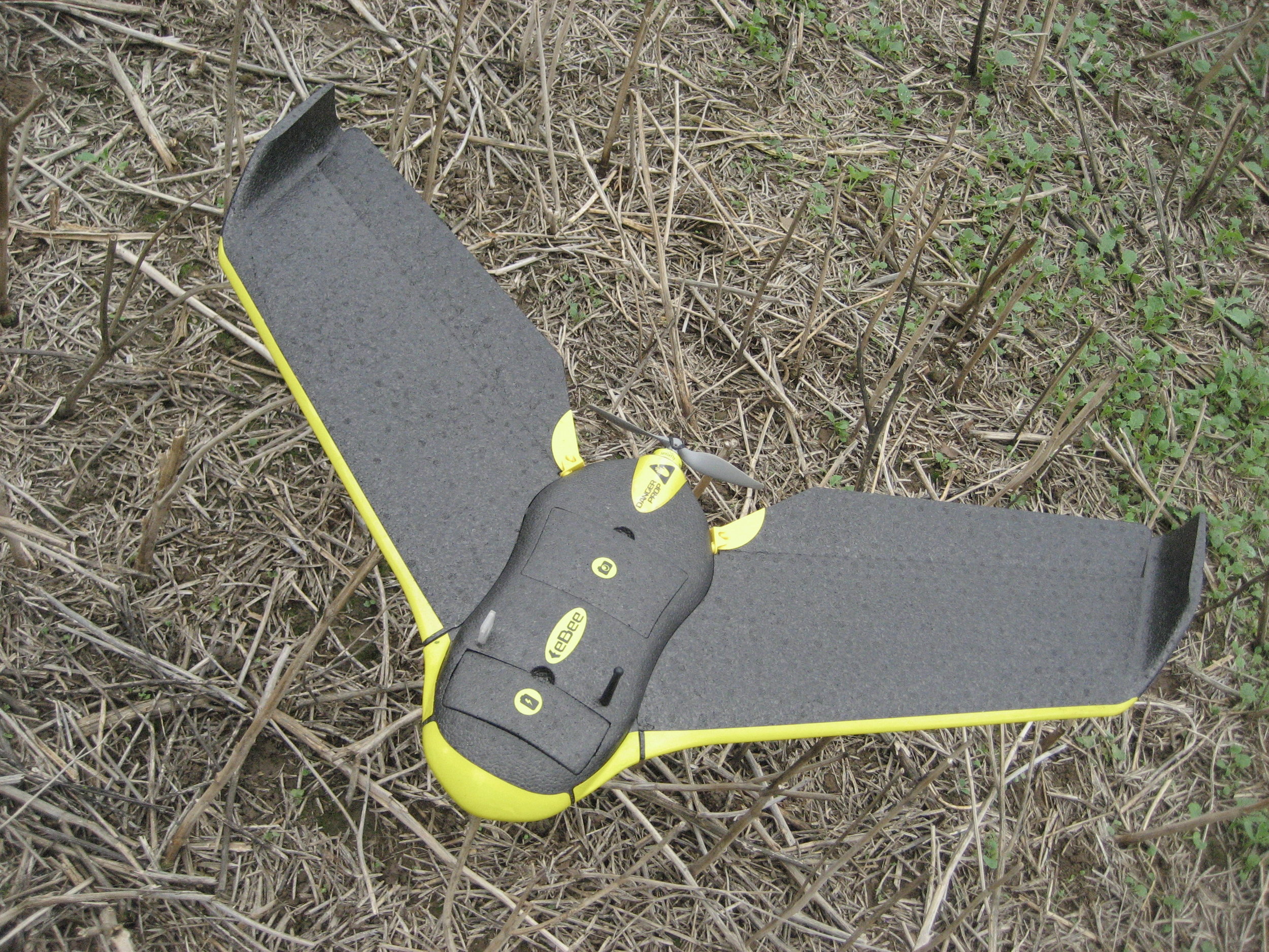
We have recently teamed up with Hummingbird Technologies who provide advanced crop analytics on a 24hr turnaround, to operate a Sequoia equipped sensefly drone for them. This is very similar ot our own drone but is the new and improved version! This means that from us coming out to the farm and imaging the requisite fields you will have a bespoke targeted spray/fertiliser application recommendation within 24 hours. This can be viewed in the field on mobile devices, in the office on web software as well as integrating with a number of commonly used farm mangement software packages. Crop analytics

What does this give us?

  1. improved endurance = greater area coverage/day
  2. more sensors on board = less flight time required
  3. faster product turnaround = application recomendations within 24 hours
  4. detection of blackgrass
  5. precision weed mapping

Head on over to their website Hummingbird for a fuller idea of what they can provide, or give us a call, we are always happy to discuss your requirements and how we could help make your farm more efficient and boost profit.


Benefits of Aerial Imagery

There are numerous benefits of aerial imagery in modern precision agriculture. A recent study from Russia showed how a reduction of fertiliser applied to a field by 20% was possible through the use of a drone like ours.

The drone that we use to capture images

The drone that we use to capture images for Precision Agriculture.

You can watch a short video summarising the study here Fertiliser reduction by 20% At 3:29 long the video is easy to watch while having a break from paperwork.

The video also demonstrates how modern technology can work alongside old technology – in this case the tractor and use of tractor driver ability to create straight tramlines or lack of!

Benefits of Drones/Precision Agriculture explained by Ohio University

We also came across this slightly longer video (7:19) produced by Ohio University Drone Benefits explained.  This video outlines some of the uses and associated advantages from using UAV’s in agriculture and how images taken from above can help decide future farm plans for cropping and management. Whilst a bit long winded it does demonstrate the different uses and advantages that aerial imagery provide. Whether you would like to also look at potential soil type or map crop health using Near Infra Red cameras there are all sorts of possibilities.

The end goal from all of this is to provide the farmer with more information that allows them to grow their crops more efficiently by targeting fertiliser/chemical applications where they are required and can give the most benefit whilst minimising both financial and environmental costs.

If you have any queries on using a UAV to assist with your farm/crop management plans, please feel free to contact us either from the site or through email/phone. Details of which can be found here. We are more than happy to discuss bespoke options for aerial imagery, if you would like to view something other than your fields and forests from above.

YouTube videos

We’ve added a few short video’s to our youtube channel showing some of what we do. Please head over to the page at Red Kite Rural Services – YouTube and have a look!

The videos are a UAV flight from setup to take down and some speedy woodland management.

We’ve also put up a fly through, taken with the UAV this is approx 150 photos combined to give one image. We then manipulate to give the fly through representation you see here.

New Flythrough video from our UAV

There are numerous benefits of aerial imagery in modern precision agriculture. A recent study from Russia showed how a reduction of fertiliser applied to a field by 20% was possible through the use of a drone like ours.

The drone that we use to capture images

The drone that we use to capture images for Precision Agriculture.

You can watch a short video summarising the study here Fertiliser reduction by 20% At 3:29 long the video is easy to watch while having a break from paperwork.

The video also demonstrates how modern technology can work alongside old technology – in this case the tractor and use of tractor driver ability to create straight tramlines or lack of!

Benefits of Drones/Precision Agriculture explained by Ohio University

We also came across this slightly longer video (7:19) produced by Ohio University Drone Benefits explained.  This video outlines some of the uses and associated advantages from using UAV’s in agriculture and how images taken from above can help decide future farm plans for cropping and management. Whilst a bit long winded it does demonstrate the different uses and advantages that aerial imagery provide. Whether you would like to also look at potential soil type or map crop health using Near Infra Red cameras there are all sorts of possibilities.

The end goal from all of this is to provide the farmer with more information that allows them to grow their crops more efficiently by targeting fertiliser/chemical applications where they are required and can give the most benefit whilst minimising both financial and environmental costs.

If you have any queries on using a UAV to assist with your farm/crop management plans, please feel free to contact us either from the site or through email/phone. Details of which can be found here. We are more than happy to discuss bespoke options for aerial imagery, if you would like to view something other than your fields and forests from above.